Updating the Integrated Maps of Floods
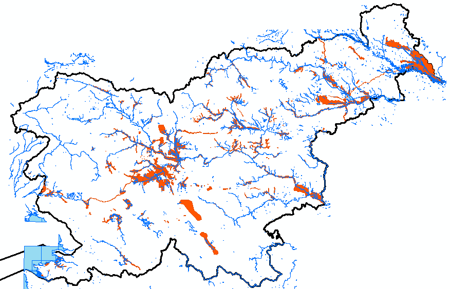
In order to implement the Decree on Conditions and Limitations for Constructions and Activities on Flood Risk Areas (Official Gazette of the RS, No. 89/08) concerning the preparation of national spatial plans of state priority, records of HH studies have been established for which both the IWRS and the Slovenian Environment Agency have issued opinions confirming their compliance with the methodology rules and a data layer at the cadastral municipality level has been developed (published in the Environmental Atlas). HH (hydrological-hydraulic) studies have been developed during the preparation of national spatial plans, municipal spatial plans and the design for a building permit. In 2012, the integrated map of classes of flood risks for the area of the Republic of Slovenia was developed for the first time ever on the basis of records and the acquired vector data layers.
The integrated maps of floods show digitised lines:
- Areas where HHS results are valid
- Lines showing flood plains at Q10, Q100 and Q500
- Areas of depths at Q100
- Areas of classes of flood risks
The purpose of updating the integrated map is to have available an accessory for use in assessing activities affecting the environment in terms of flood risks and threats. By doing this, these activities can be proactively optimised, since designers and investors will have more accurate flood risk data at their disposal.
Link to Additional Content
http://gis.arso.gov.si/atlasokolja/profile.aspx?id=Atlas_Okolja_AXL@Arso

