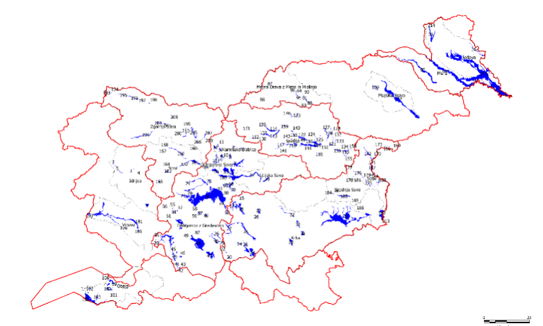
Updating the Integrated Maps of Floods

In order to implement the Decree on Conditions and Limitations for Constructions and Activities on Flood Risk Areas (Official Gazette of the RS, No. 89/08) concerning the preparation of national spatial plans of state priority, records of HH studies have been established for which both the IWRS and the Slovenian Environment Agency have issued opinions confirming their compliance with the methodology rules and a data layer at the cadastral municipality level has been developed (published in the Environmental Atlas).

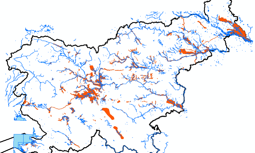
Preliminary Identification of Key Inundation Areas of High Waters in the Area of Slovenia

Significant flood hazard areas are defined as part of flooding areas where floodwater can spill and be retained without significant damage, potentially reducing any damaging effects downstream. The Floods Directive prescribes taking into account the areas where floodwater could be retained (natural floodplains). The designation of areas is based on both relevant implementing regulations, i.e. the Decree on Drawing Up a Water Management Plan and the Rules on Mapping Methodology.

ASSESSMENT OF THE ACTUAL STATE OF THE INNER MURA SECTION

The aim of this study was to analyse the hydrological and hydromorphological status of the interior section of the Mura River between Radenci and Gibina and to make a comparison between the water levels of the groundwater at Mursko polje and at Prekmursko polje as well as to compare the changes in the Mura River’s water level to those of the groundwater.