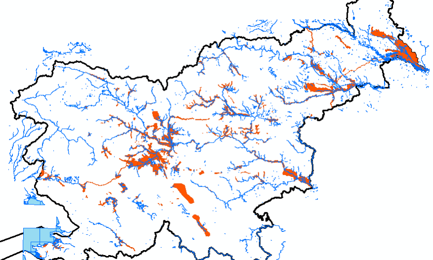
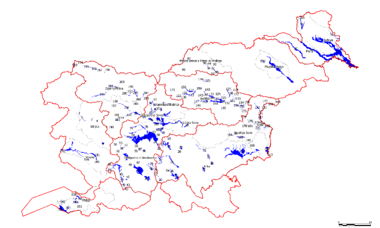
Updating the Integrated Maps of Floods
In order to implement the Decree on Conditions and Limitations for Constructions and Activities on Flood Risk Areas (Official Gazette of the RS, No. 89/08) concerning the preparation of national spatial plans of state priority, records of HH studies have been established for which both the IWRS and the Slovenian Environment Agency have issued opinions confirming their compliance with the methodology rules and a data layer at the cadastral municipality level has been developed (published in the Environmental Atlas).


