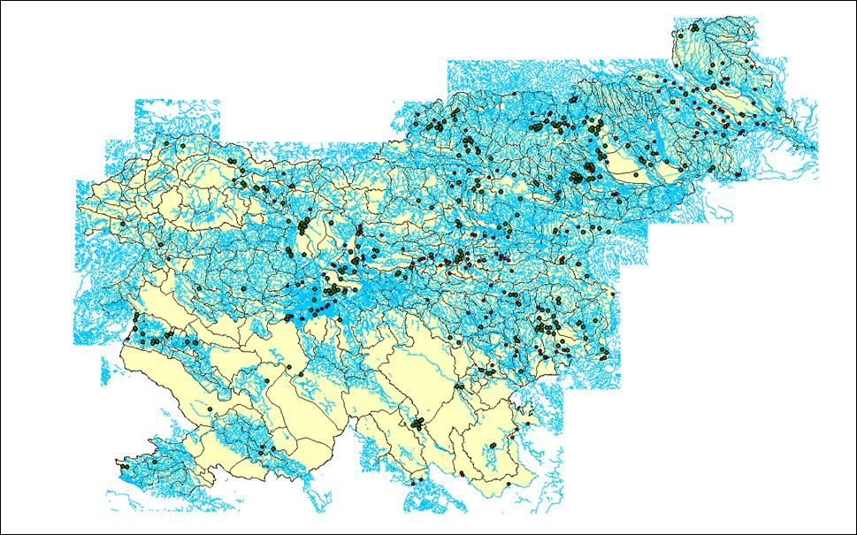
Catalogue of Flood Events in Slovenia
For the purposes of operational hydrological forecasting and hydrological analyses, the Institute for Water of the Republic of Slovenia is establishing a database called the Catalogue of Flood Events in Slovenia. The Catalogue of Flood Events will include data on surface water flood events from various professional and other reliable sources, specifically from the first accessible source and up to the last recorded flood. The collected data will be structured into a summary table containing the required attributes (date, location, flood extent, flood type, source, description, etc.) as well as extra attributes (pictures and videos, satellite images, geodetic surveys, hydrological reports, meteorological reports, etc.). The series of data will be organised so as to allow easy transfer into other software tools to serve as the basis for further analyses and planning of flood risk protection measures, for updating the flood warning map, for verifying maps of flood risk and for other spatial planners.
We want to include as much visual material as possible. Only photographs for which we know exactly when and where they were taken will be included. If you have a photo that covers the widest possible flooded area, please send it to us at info@izvrs.si.
Link to Additional Content
http://gis.arso.gov.si/evode/profile.aspx?id=atlas_voda@Arso

